The School of Forest, Fisheries, & Geomatics Sciences is a unit within the University of Florida Institute of Food and Agricultural Sciences (UF/IFAS) and the College of Agricultural and Life Sciences (CALS).
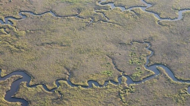
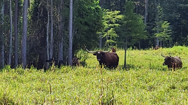
We are home to three distinct yet integrated program areas: Fisheries and Aquatic Sciences, Forest Resources and Conservation, and Geomatics. We have sites and centers located across the state.
Our faculty, staff, and students conduct research, teaching, and Extension that cuts across a wide range of environments and disciplines.
You can always reach out to us for student advising, course feedback, admissions information, and more.